Drone photography
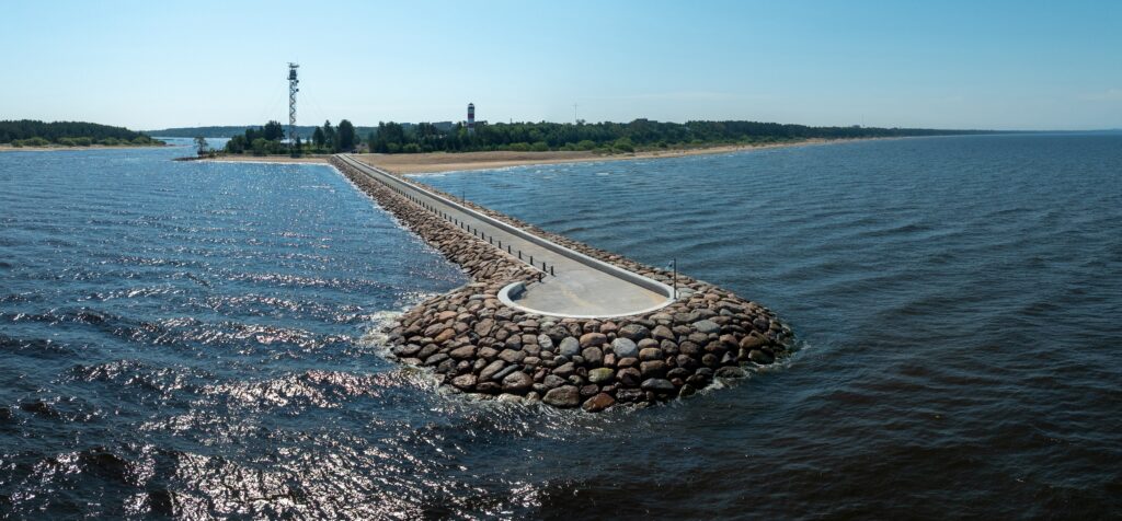
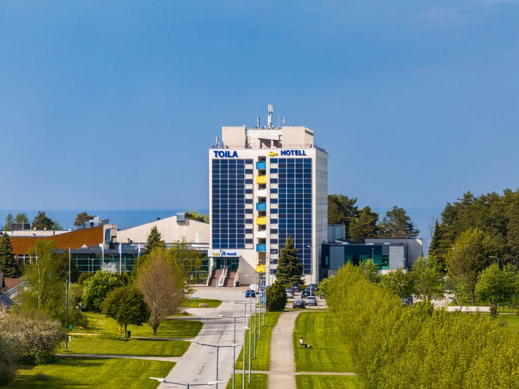
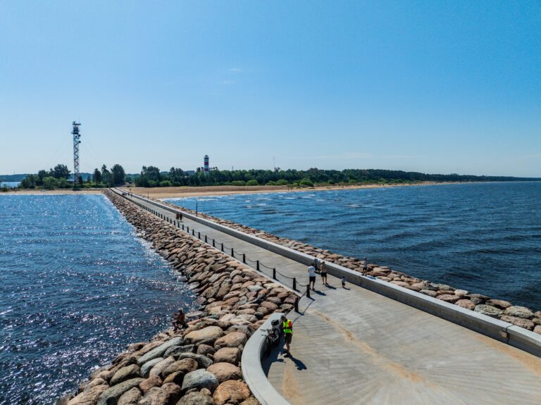
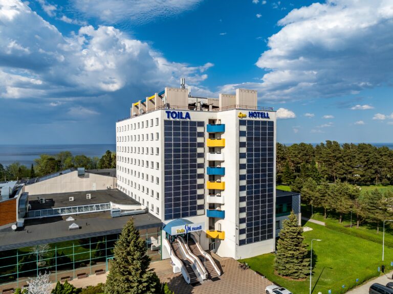
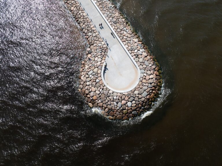
A drone shows the property together with its location, access and surroundings. For developers, builders, industry and municipalities.
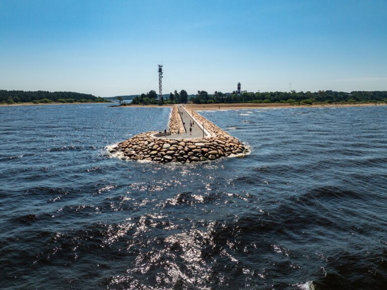
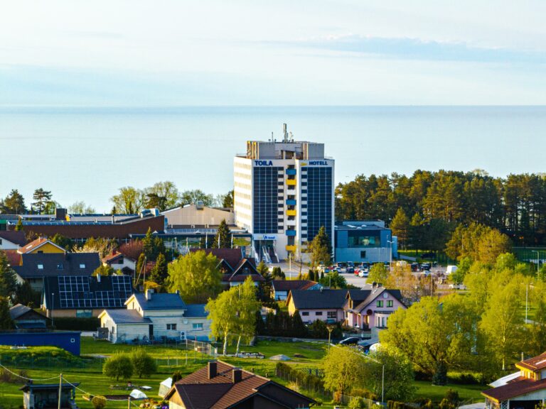
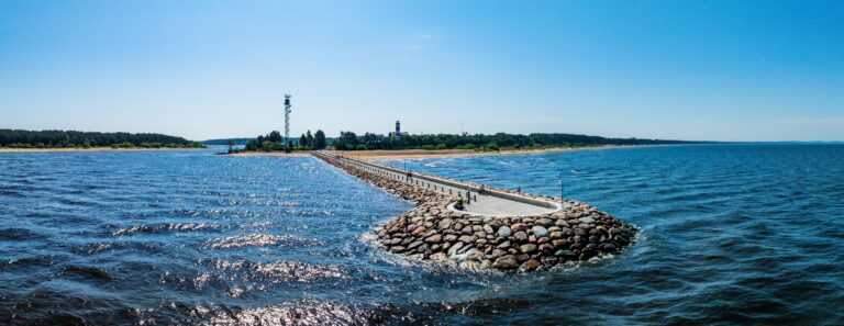
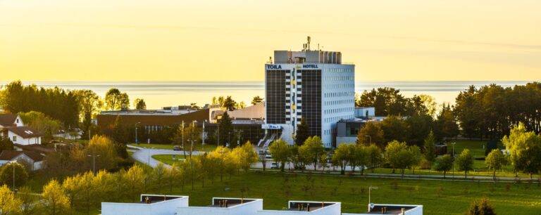
What you get
- Images
- 15–20 drone photos and 1 panorama
- Files
- JPG, full size and web size
- Delivery
- 5–7 working days
- Usage rights
- for the agreed use
I fly a DJI Mavic 3. I shoot both overall views and closer frames of the facade and details, in daylight, at sunset or during blue hour.
Flight safety and permits
I fly according to the requirements of the Estonian Transport Administration. Some areas are restricted, for example city centres and industrial sites, and flying there needs a permit or approval.
Before the shoot I check whether flying over your property is allowed and apply for the necessary permits. If flying is not possible, I tell you straight away and suggest another solution.
Packages
Drone + property
15–20 drone photos and 1 panorama, the property in its location. For developers and builders.
from660 €
Construction stages
A drone photo from the same point at every stage, from start to finish. For developers and construction companies.
from400 € / stage
Prices are final, no VAT is added. You get an exact price in the quote once the property and the use are known.
Frequently asked questions
Can you fly over my property?
Usually yes. Restricted areas need a permit or approval. I check this before the shoot and let you know how long the permit takes.
In what weather can you not fly?
The drone does not fly in strong wind, rain or fog. In that case I postpone the shoot.
How can construction stages be shot from the same spot?
On the first visit I save the flight point and the frame and repeat them at every stage. That makes the images comparable.
Where can I use the images?
You get the right to use the images for the agreed purpose, for example on the web, in listings and in print. Copyright stays with Arvo Juhkov. If you later need wider use, we agree on it separately.